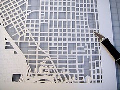
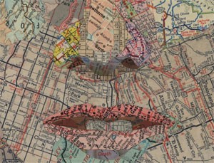
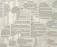
Matthew Cusick does collages with maps and texts. Above on the left is a detail of Red and Blue and on the right is a detail from Ether (which uses Bible and history book pages). He also alters book pages — see the collection called Defacements where, using pages from olld schoolbooks, he alters them “through a process of scraping and sanding to isolate the illustrations and remove all but a few words of text. The page numbers are also left intact so that the works can be reassembled into a unique codex.” About this work he says:
Defacements are obsessively crafted amalgamations of word and image in the tradition of altered books and concrete poetry. The re-contextualization of image, word, and number creates a new storyline that is often in the spirit of a prankster student who has marked up a textbook with irreverent and provocative commentary.

 Since moving to Santa Fe, I’ve used Google’s map feature a lot. But it hasn’t been particularly helpful for figuring out where to ride my bike… While there’s a “biking directions” switch, showing bike lanes as well as roads that are only open to pedestrians and bikes, it doesn’t show elevation. There are a lot of hills here in Santa Fe, very few bike lanes, and some roads have shoulders and some don’t. There are several bike groups that have weekly rides, and I’ve joined them a few times, which has helped me figure out where to ride on my own. I’ve also used my android phone to help me — there’s an app called