City Neighborhood Posters

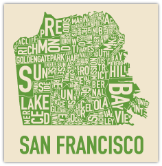
Ork Poster for San Francisco
After reading my posts about maps, my friend Elaine wrote to tell me about a typographic map she’d gotten for Christmas, with all of the districts/neighborhoods in type — smaller or larger to fit in the appropriate location. Turns out I knew exactly what she got — the map to the right, from Ork Posters. (They’ve done maps of Seattle, Manhattan, Chicago, Toronto and more.) I’ve seen these before, and sent the link to more than one person, but had quite forgot about them — so I’m posting here so I’ll be reminded of them again when I browse my map posts…

Map Calendar

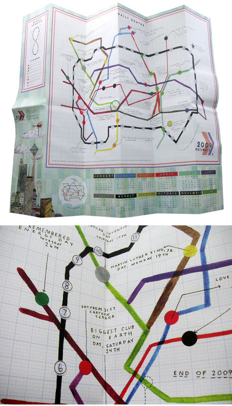
Even though 2009 has barely begun, I’ve started thinking about my 2010 calendar. As I was poking around the web looking at what others have done for 2008, imagine my delight in finding this calendar based on maps called ‘2009 Railways Map Calendar & Poster’ and designed by Lart Berliner! The railway lines are months, and you can see from the detail that important days are marked as stops on the routes. I immediately bought one. (Berliner also did a map-ish calendar in 2008 — Lakes and Territories of the Greater 2008.)

2009 Railways Map Calendar & Poster

Maps Everywhere

Britain-Shaped CloudAfter my post about Nigel Peake’s maps, I got several emails about other interesting map sites and blog posts.

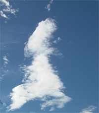
  • Strange Maps, a blog about, you guessed it, odd maps. A recent post is about accidental maps, such as the cloud shaped like the UK, to the left.
  • That lead me to Making Maps: DIY Cartography, subtitled “Resources and Ideas for Making Maps”. It includes posts on one of the oldest maps known and lots of fascintating map symbols. And that’s just on the first page!

  • Over on my friend Cathy’s blog about bookmaking with kids, she has a recent post about “Me on the Map” books where kids draw maps of what’s important in their worlds.

Atlas Landscape

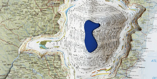
Maya Lin, Atlas Landscape, detail, Rand McNally The New International Atlas

Last week I saw the exhibit “Maya Lin: Systematic Landscapes” at the de Young Museum in San Francisco. I knew I was going to see Lin’s large-scale installations that interpret natural topography — one was the geological surfaces of a mountain range. But I didn’t expect smaller works, like altered books made from old Rand McNally atlases. She’s cut into the book’s pages to form a precise and detailed topographic view into the map (although it doesn’t appear that the result has anything to do with the map on the top-most page). The smaller works were a good balance to the large ones, although the installations cried out to be seen outdoors and from above as well as at ground level. The photo is a detail from one of the altered books, Atlas Landscape. There’s a nice overview of the exhibition with photos here.

Nigel Peake’s “Maps” Book

As you might tell from my recent posts, I’ve become map obsessed — thinking about them, looking at them, drawing them, designing a book and several broadsides. In my searches I stumbled on Nigel Peake’s Maps, a book of his drawings sub-titled “Fields, Paths, Forests, Blocks, Places and Surrounds.” The back matter says he is

Documenting small time adventures and excursions outwith a mile radius from where I call home. From train rides facing backwards, to crammed bus rides in tiny hill-top towns, to bike rides through the backyards of Europe. Records of the vast, unyielding concrete miles of Shanghai, to the paths between mountains and forests in late night French countryside to the old paint splattered wooden floor in London that I sleep on from time to time. In addition to this there are also some imaginings of possible places — cities built from train tunnels and underground arches to invisible concrete cities.

I ordered the book immediately (from a interesting shop in Edinburgh called Analogue Books). It’s full of quirky detailed drawings with wonderful names — the 2 below are called “Mountains — Ballytrustan” and “Utopian Town, Part II.” (Ballytrustan is a parish in County Down, Ireland.) And an interesting and well-written essay in the middle on mapping. Nigel has a website and blog where you can see his drawings (not restricted to maps).
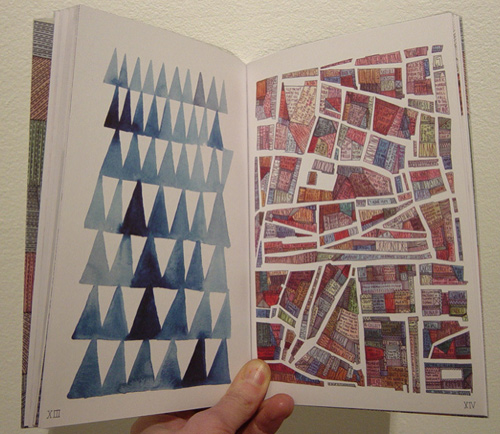
Maps by Nigel Peake

Around the Block

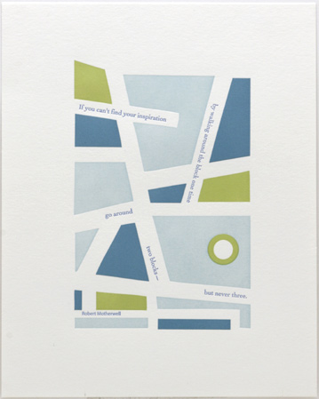
Around the BlockContinuing with my on-going interest in maps, this is a companion piece to my recent broadside Walk Empty-handed. It’s a limited edition 8″x10″ letterpress print, 17 in all.

The quote is from Robert Motherwell: “If you can’t find your inspiration by walking around the block one time, go around two blocks — but never three.”